

Maps & Roll Charts Mailed USPS with Tracking
GPS (Loaded On SD Card Mailed USPS with Tracking)
GPS (Sent Via E-mail with No Shipping Charge)
Shadow of the Rockies Trail Colorado
$8.00 – $22.00
Description
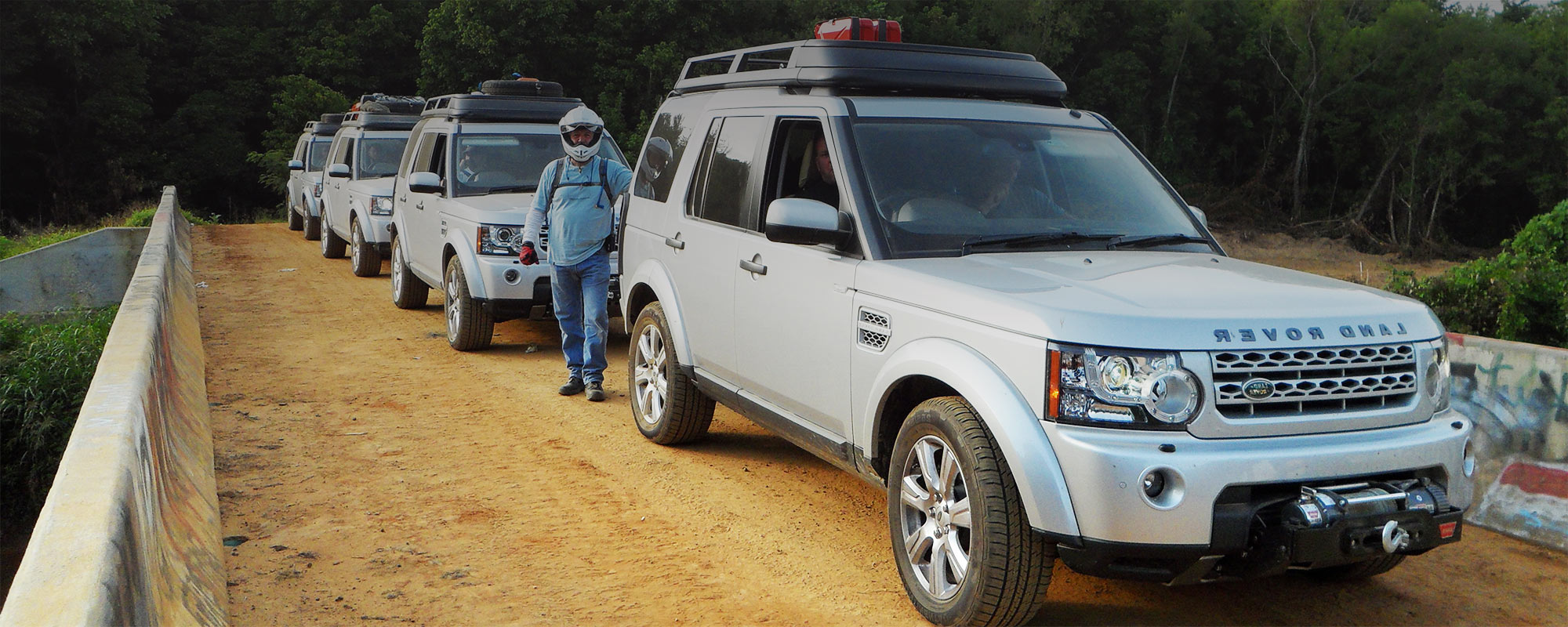
The Colorado section of the SR starts in Trinidad, CO. Here, you start a gradual gain in elevation until the crossing of the Continental Divide at Tincup Pass.
The first 285 miles are shared with the TAT, then it turns North for the WY state line, while the TAT continues West to the Utah state line. The first gas stop is 110 miles away at La Veta, with a motel and food available as well. Your next gas stop is Westcliffe, CO, at 98 miles away and again in Salida, CO, 77 miles away (motel, gas, and food available).
Salida is the junction where you turn North and break away from the TAT. The route goes to St. Elmo, a real must-stop. From here, start your climb to Tin Cup Pass, which is very rocky. I have given the riders a Big Bike Bypass with easy exit and easy way back on the TAT that is marked on my maps. If you take the bypass, ride to St. Elmo, then back track to Buena Vista and Cottonwood Pass, which is just as beautiful but does not have the ROCKS. You will enjoy Crest Butte and Kebler Pass. Then, it’s on to Rifle, CO, Meeker, CO, and Craig, CO, each with motel, food, and gas available. Cross into WY and end in Baggs, WY.
Receiving and Delivery Times for Maps & Rolls Charts
Receiving and Delivery Times for GPS Tracks
Additional information
| Map Types | Maps & Roll Charts, GPS Files Sent Via E-mail, GPS Files Mailed on SD Card |
|---|


Reviews
There are no reviews yet.