

Maps & Roll Charts Mailed USPS with Tracking
GPS (Loaded On SD Card Mailed USPS with Tracking)
GPS (Sent Via E-mail with No Shipping Charge)
Shadow of the Rockies Trail New Mexico
$8.00 – $20.00
Description
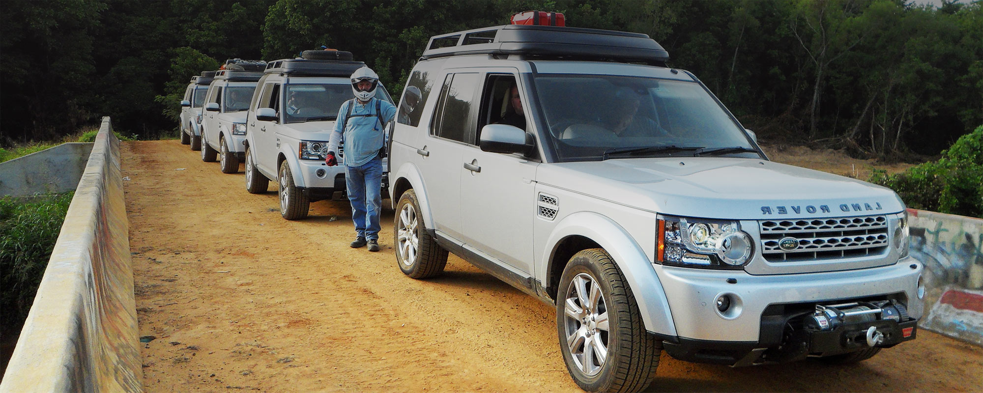
The New Mexico section of the SR starts 24 miles East of El Paso, TX. Then, it’s a short run North before you cross into the state of New Mexico. One helpful idea is to arrive in El Paso in the early afternoon the day before you start your ride. Locate a motel (if not camping) and ride out east to locate the Trail Head. This will save you time and give you an early start the next morning. The first gas stop and motel is 194 miles away in Capitan, NM. That first day of riding is in the open high desert with 80% being hard-packed gravel/ dirt roads. There are some sections that are impassable when wet. Capitan has a comfortable motel, food, and gas.
Leaving Capitan, you will cross Capitan Gap. This road is rocky and about 10 miles long. I have given the riders a choice of taking a Big Bike Bypass, marked on the maps with easy exit and easy entry back onto the TAT. Your next gas, motel, and food stops are 173 miles away in Sumner, NM, and 151 miles along again at Logan, NM. Fuel up again at Gladstone, NM (Clayton, NM) and then ride the final 140 miles into Trinidad, Co. New Mexico is fun but you are alone for most of the ride, so bring water and snacks, and watch your fuel level.
Receiving and Delivery Times for Maps & Rolls Charts
Receiving and Delivery Times for GPS Tracks
Additional information
| Map Types | Maps & Roll Charts, GPS Files Sent Via E-mail, GPS Files Mailed on SD Card |
|---|


Reviews
There are no reviews yet.